
Sources for Marion County Neighbors
A block lookup combines maps, parcel records, limited public rolls, and civic sources. The parcel map answers where one lot ends and the next begins. An assessor card names the tax-roll owner, but that person may live elsewhere. A voter record covers only a registered voter and may be protected. Registered organization data describes a civic group and its service area, not every neighbor inside it.
| Source | What it shows about a block | Access |
|---|---|---|
| MapIndy parcels | Parcel shapes, street labels, address points, nearby lots | Public map and GIS layers; select, measure, draw, print |
| Assessor cards | Owner, situs and mailing address, legal description, transfer rows | Free search, one parcel or owner at a time |
| Recorder index | Recorded parties, plats, easements, liens, deed dates | Online party index, office terminals, recorder counter |
| Voter records | Lawfully available registration, precinct, district, and vote-history fields | Individual portal or qualified VRG-24 request; protected fields withheld |
| Registered organizations | Organization name, polygon, status, contact or meeting fields when supplied | Public city application and GIS service; no member roster |
| Directories and maps | Historic occupants, firms, buildings, lots, and block form | Digital scans, IndyPL, State Library, IHS |
A reliable result states the role beside each name: assessed owner, recorded deed party, registered voter, organization contact, or historical directory entry. Those roles are not interchangeable. The date matters too. Even a correct property card can trail a recent deed, and the recorder's public index notes an approximate five-day delay.
Map Marion County Neighbors Parcel by Parcel
MapIndy and its property layers support an address-first block search. The map can display parcels, unit address points, street labels, ZIP codes, townships, excluded cities, neighborhoods, registered organizations, subdivisions, zoning, and other public geography. It can also select features, measure distance, draw notes, and print. These tools define a block; they do not create a household roster.
- Enter the known address and zoom until the target parcel outline and street numbers are clear.
- Turn on parcel and street-label layers. Select the lots on each side, behind the target, and across the street.
- If a click does not open a property card, copy the adjacent parcel number and search it in the assessor portal.
- Save each owner, situs address, mailing address, legal description, and transfer date in a separate row.
- Print the map with a north arrow, street labels, parcel outlines, relevant boundaries, and the research date.
The parcel service is the most useful successful image match for this task. Open the MapIndy property and adjacent-parcel layers before reviewing the capture.
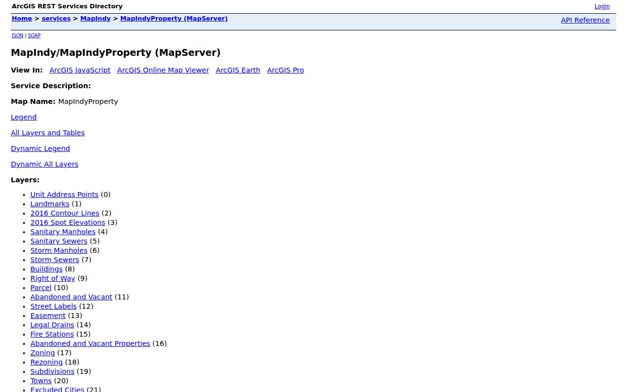
When the question expands from the immediate block to an entire named road, use the Marion County street directory workflow. It adds permits, a longer deed chain, and address-by-address coverage without turning this block method into a full street sweep.
Separate Marion Owners From Neighbors
The Marion County Property Report Cards search accepts an address, all or part of an owner name, a county parcel number, or a state parcel number. A card can show owner, situs address, mailing address, legal description, plat, tax district, neighborhood, assessed values, characteristics, and transfer rows. That makes it a strong parcel record, but not proof that the owner occupies the site.
Compare situs and mailing addresses. A match may support an occupancy lead, but it still does not identify all people at the address. A mismatch may reflect a nonresident owner, a trust, an estate, or another tax-mail route. Do not label a person as a neighbor merely because a mailing field contains the block. Likewise, a permit applicant can be a contractor, designer, or agent rather than the owner.
Key distinction. A parcel card names the assessed owner and tax contact; it does not list every adult, child, guest, or renter at the situs.
Map Marion County Neighbor Organizations
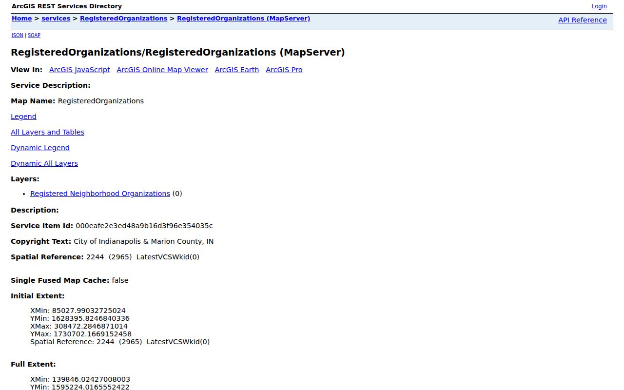
Indianapolis publishes a Registered Organizations application and a queryable GIS layer. A block can be tested against an organization polygon, then the current row can be checked for its name, status, URL, boundary description, ZIP, township, meeting code, newsletter field, and public organization contact details. The service does not promise a resident or member directory.
The Registered Neighborhood Organizations map service exposes the official layer behind that civic search.
| Sample organization | Published layer clue | How to use it |
|---|---|---|
| Southeast Neighborhood Development, Inc. | ZIP 46203, Center Township, website and newsletter | Confirm the target polygon and current contact row |
| Little Flower Neighborhood Association | ZIP 46201, website, meeting and newsletter fields | Check current notices, not a presumed member list |
| Franklin Township Civic League, Inc. | ZIP 46239, website and newsletter | Use as a civic information source |
| Ben Davis Village Alliance | Active sample row, ZIP 46241, website | Verify boundary before associating a block |
Organization status and contacts change. Query the live row before relying on it, and do not infer that every parcel owner belongs to a group simply because the polygon covers the block.
Marion County Voter Block Limits
The Indiana Voters portal supports individual registration and election tasks, but official documentation did not establish a public web button that lists every voter on a block. A broader list request uses State Form 48648, also called VRG-24, and is subject to requester qualifications, payment, anti-solicitation promises, and protected-record rules. Available categories can include county, township, precinct, walking list, registration data, or vote history.
Public registration fields can include a voter's name, residence or mailing address, registration status, registration date, precinct or district, and vote history. Vote history means participation, never ballot choices. Safe at Home participants and other protected voters are withheld, while full Social Security numbers, agency declinations, citizenship proof, and sensitive identifiers remain confidential.
A voter nonmatch does not prove nonresidence. The person may not be registered, may have moved, may use protected status, or may not match the supplied fields. For civic research, the precinct and district serving the block are often enough. Ask the Marion County Election Board about the current form, fee, and use terms before requesting any list.
Note: The April 2026 state voter guide and March 2026 Marion vote-center plan are the current research references for list and election-office workflows.
Marion Neighbor Geography Can Mislead
Marion County's consolidated city and county government still includes excluded cities and incorporated towns, nine townships, postal labels, precincts, and neighborhood boundaries. Beech Grove, Lawrence, Southport, and Speedway retain excluded-city status. A postal city name or ZIP does not settle legal jurisdiction, and a neighborhood name may not match an RNO polygon.
Use the parcel first. Then turn on township, excluded-city, ZIP, neighborhood, council, and organization layers as needed. This sequence prevents a service label from being mistaken for a legal boundary. It also helps route a permit, clerk, or public-record question to the right custodian. For an old block, add city-directory street guides and Sanborn or Baist maps because annexation, lot splits, and renumbering can alter the apparent geography.
Official Records Beat Neighbor Profiles
Commercial neighbor tools often blend names, phones, and addresses from many dates without explaining the underlying record. Official sources are narrower, but they reveal the custodian, field meaning, and access date. That makes them easier to verify. Neither category should be treated as a real-time account of who is inside a home.
| Question | Official Marion source | Commercial category |
|---|---|---|
| Which lots touch? | MapIndy parcel geometry | Boundary source may be unclear |
| Who owns a parcel? | Assessor card, then recorder deed | Name may be stale or merged |
| Which group covers the block? | Registered Organizations polygon | Community label may lack authority |
| Who lives there now? | No complete official household roll | Claim cannot be assumed current |
Use the official roll that fits the question, note its limits, and confirm vital facts with the custodian. A paid profile does not turn a tax owner into an occupant or an old phone listing into a current neighbor.
Historic Marion County Neighbors
For a past block, city directories can place residents and firms near one another in a publication year. Sanborn and Baist maps add footprints, use, stories, alleys, and lot context. IndyPL, the Indiana Historical Society, the Indiana State Library, and the Genealogical Society of Marion County add newspapers, obituaries, church, school, cemetery, and neighborhood collections. These sources can rebuild social context that a current parcel layer cannot show.
Addresses changed in Indianapolis in 1887, 1899, and 1916. Tennessee became Capitol and Mississippi became Senate in 1895. Search both names and compare cross streets, legal lots, nearby landmarks, and maps from the same era. A missing person may reflect a changed address or weak optical text recognition, not an empty house.
Protect Marion County Neighbors
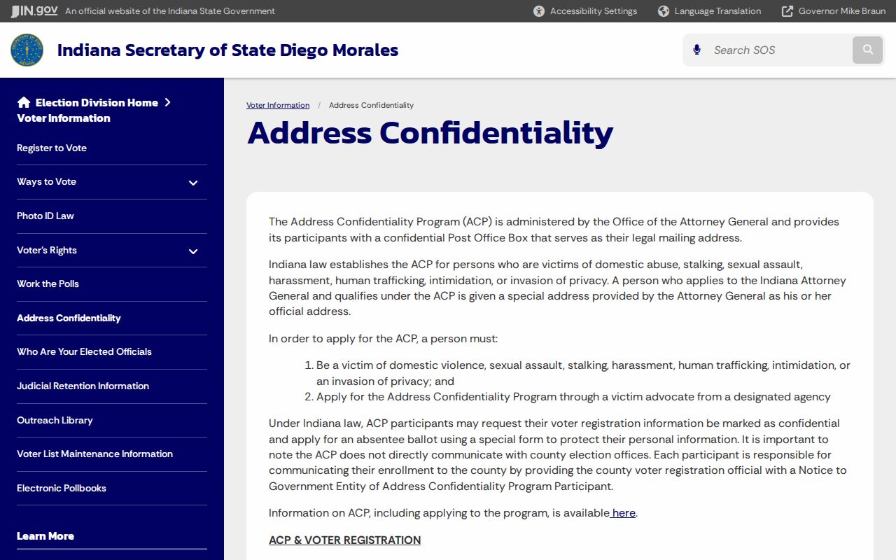
Public records leave deliberate gaps. Safe at Home gives qualifying Indiana participants a substitute legal address and protected voter treatment. Sealed cases, confidential identifiers, motor-vehicle data, utility accounts, delivery records, and private organization rosters are not sources to defeat. A parcel map also cannot identify children, guests, or all occupants.
If the purpose is to welcome someone, resolve a parcel question, learn block history, reconnect lawfully, or understand civic representation, collect only what that task needs. Do not republish personal organization contacts without a clear public purpose. Record the source date, and remove an unsupported inference when the owner, voter, and directory evidence disagree.
The successful Indiana Safe at Home source explains why some address data is intentionally absent.
Lawful use. Use neighbor records for civic, historical, safety, or reconnecting purposes. Never use them to watch, expose, intimidate, stalk, or harass a person.