
Marion County Address History Sources
No one record names every person linked to an Indianapolis or Marion County address. Title records follow ownership, while city directories and census schedules can identify occupants. Maps show when a structure existed. Permit cases mark later work. The best source therefore depends on both the date and the question. Begin with the present parcel card for a recent chain, but move to the library and archives when the trail reaches older books or a changed street number.
| Source | Years it covers | Where held | What it shows |
|---|---|---|---|
| Recorder instruments | Records date from 1821; historical guide covers 1821 to March 31, 1964 | Marion County Recorder index, office terminals, deed books | Recorded parties, document type, date, legal description |
| Indianapolis city directories | 1855 to 2001 | IU Indianapolis, IndyPL, Indiana State Library | Names, occupations, firms, and street addresses |
| Suburban directories | Added in 1957 | IndyPL local-history holdings | Coverage beyond the older city footprint |
| Federal census | Public schedules through 1950 | Archives and library research databases | Household members and relationships at the census date |
| Sanborn and Baist maps | Selected historic years | IU Indianapolis and State Library collections | Building footprint, use, lot, and block context |
| Permit and planning cases | Portal coverage varies | Indianapolis Accela | Case, applicant, address, parcel, type, and event dates |
For previous residents after the mid-twentieth century, compare the parcel transfer rows with a directory close to the transfer date. Earlier work may require bound volumes, microfilm, or a staff-assisted search. A person in a directory was associated with the address in that publication; the entry does not by itself prove title or a full year of occupancy.
Start the Marion County Parcel
The Marion County Assessor Property Report Cards search accepts a seven-digit parcel number, an eighteen-digit state parcel number, all or part of an owner name, or an address chosen from autocomplete. A property card can show the situs address, tax mailing address, legal description, plat, township, neighborhood, book and page, and transfer rows. Save those fields before opening another source.
Situs means the physical location of the parcel. The mailing address is where tax notices go and can belong to an estate, trust, firm, or owner living elsewhere. It does not establish who slept at the house. The transfer table is more useful for a backward chain because it supplies dates, grantors, amounts, and transfer types. When the street number fails in an old index, the parcel number and legal description help keep the research attached to the same land.
Note: A current owner name is the starting point for previous-resident research, not a complete list of present or past occupants.
Trace Marion County Past Owners
The Marion County recorded-document index searches party names, document types, date ranges, document numbers, and subdivision lot or block. Its inspected public settings did not offer address, parcel, or wildcard searching. That makes the assessor card essential. It converts an address into an owner name and stable land description before the recorder search begins.
- Open the current parcel card. Copy the owner name, legal description, parcel identifiers, and newest transfer row.
- Search the current owner as a party, using the name exactly as indexed. Filter for a deed and a date near the parcel-card transfer.
- Read the deed parties and legal description. Identify the seller, then search that seller as the buyer on an earlier deed.
- Repeat the buyer-to-seller loop. Keep document numbers, recording dates, name variants, and book/page references in one log.
- When the online index or image does not answer the question, use the Recorder's Office terminal, subscription route, or deed books.
- Grantor
- The party transferring an interest in recorded property.
- Grantee
- The party receiving that recorded interest.
- Chain of title
- The linked series of transfers for the same land.
- Legal description
- The lot, block, subdivision, or boundary wording that identifies land despite a changed street address.
The recorder is at 200 E. Washington Street, Room 741, Indianapolis, and can be reached at (317) 327-4020 or recorder@indy.gov. Public indexed data is available online, while office terminals and fee-based document access cover tasks the free view does not. Exact current image fees and a precise online cutoff were not verified, so confirm those details with the office.
Decode Marion County Deed Books
The recorder's historical searching guide is an unusually useful bridge into older previous residents. For instruments from 1950 through March 31, 1964, it uses an A, a four-digit year, and an eight-digit instrument number. For 1821 through 1949, searches use a two-character book type, a six-digit book number, a hyphen, and a six-digit page.
| Code | Record type or format |
|---|---|
| DE | Deed book |
| DL / DT | Deed land / deed town lots |
| MG | Mortgage book |
| LN / ML | Lien / mechanic lien book |
| A + year + number | Instrument-number format for 1950 to March 31, 1964 |
One book and page can return more than one book type, so choose the legal instrument category with care. The live portal also requires exact indexed names and has no wildcard. Try initials, full first names, married or widow forms, and spelling variants, but log each search rather than treating a blank result as proof that no deed exists.
Marion Addresses Changed More Than Once
Indianapolis addresses changed in 1887, 1899, and 1916. Street names changed too. Tennessee became Capitol and Mississippi became Senate in 1895, and diagonal roads could shift between street and avenue labels. These changes can make previous residents vanish when a modern address is typed into an old directory search.
Build an address crosswalk. Record every known number, old and new street name, cross street, ward or township, subdivision, and lot. Then check a map from the same era. Washington Street is the city's north-south numbering base, while Meridian Street is the east-west base, but historical volumes still need their own street guides. A structure may also have stood outside the old city limits before annexation or within one of Marion County's excluded cities.
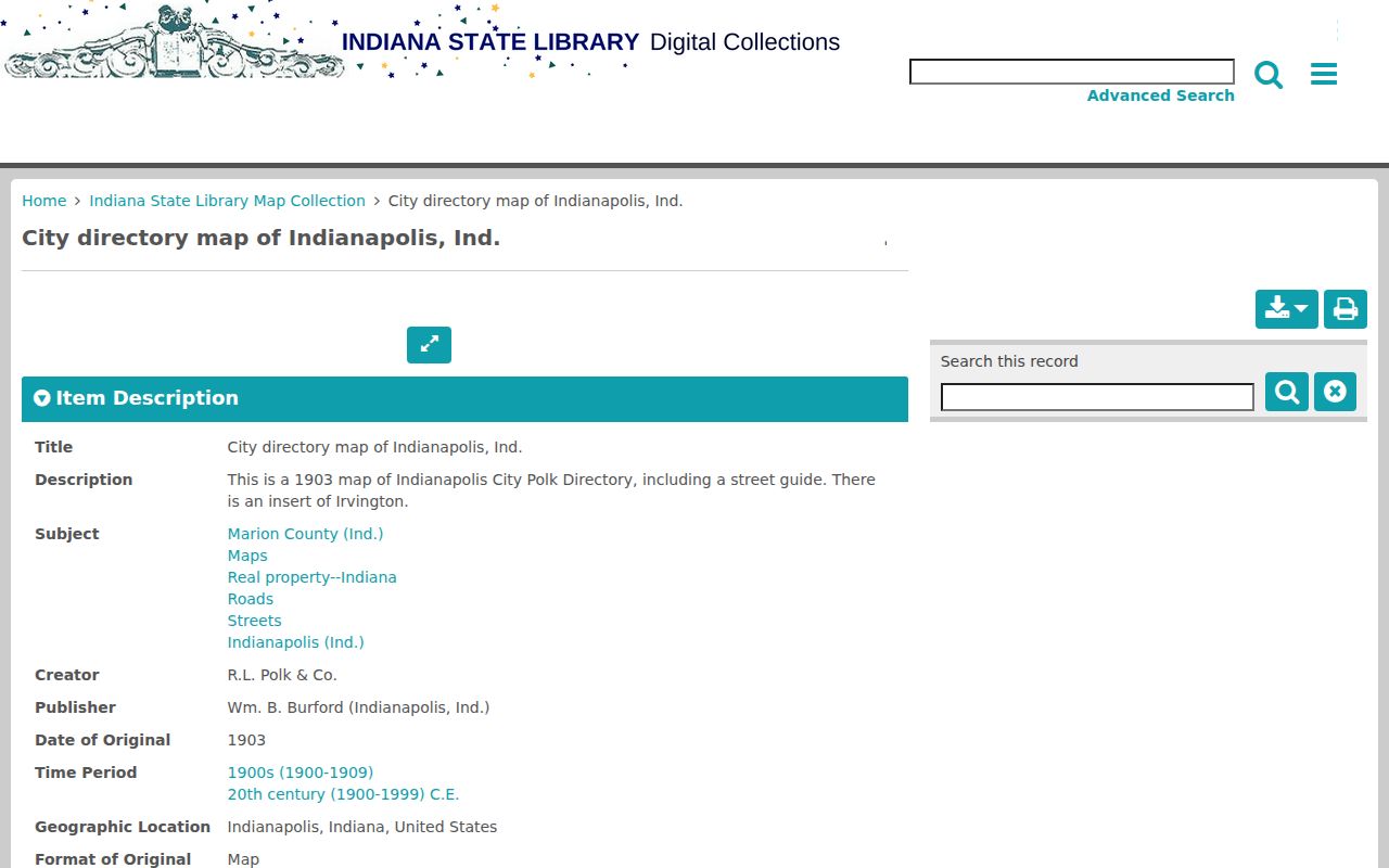
The 1903 Indianapolis directory map includes a street guide and an Irvington insert that can reconnect an old place label with directory-era geography.
Historic Maps Test Marion Address Clues
Sanborn fire-insurance maps, Baist atlases, and plat maps do not identify every occupant, but they can test whether the building existed and whether the lot stayed intact. A footprint, construction type, number of stories, use, nearby alley, and adjacent landmark can separate two addresses that look similar in a text index. Lot divisions and parcel combinations also explain breaks in a deed chain.
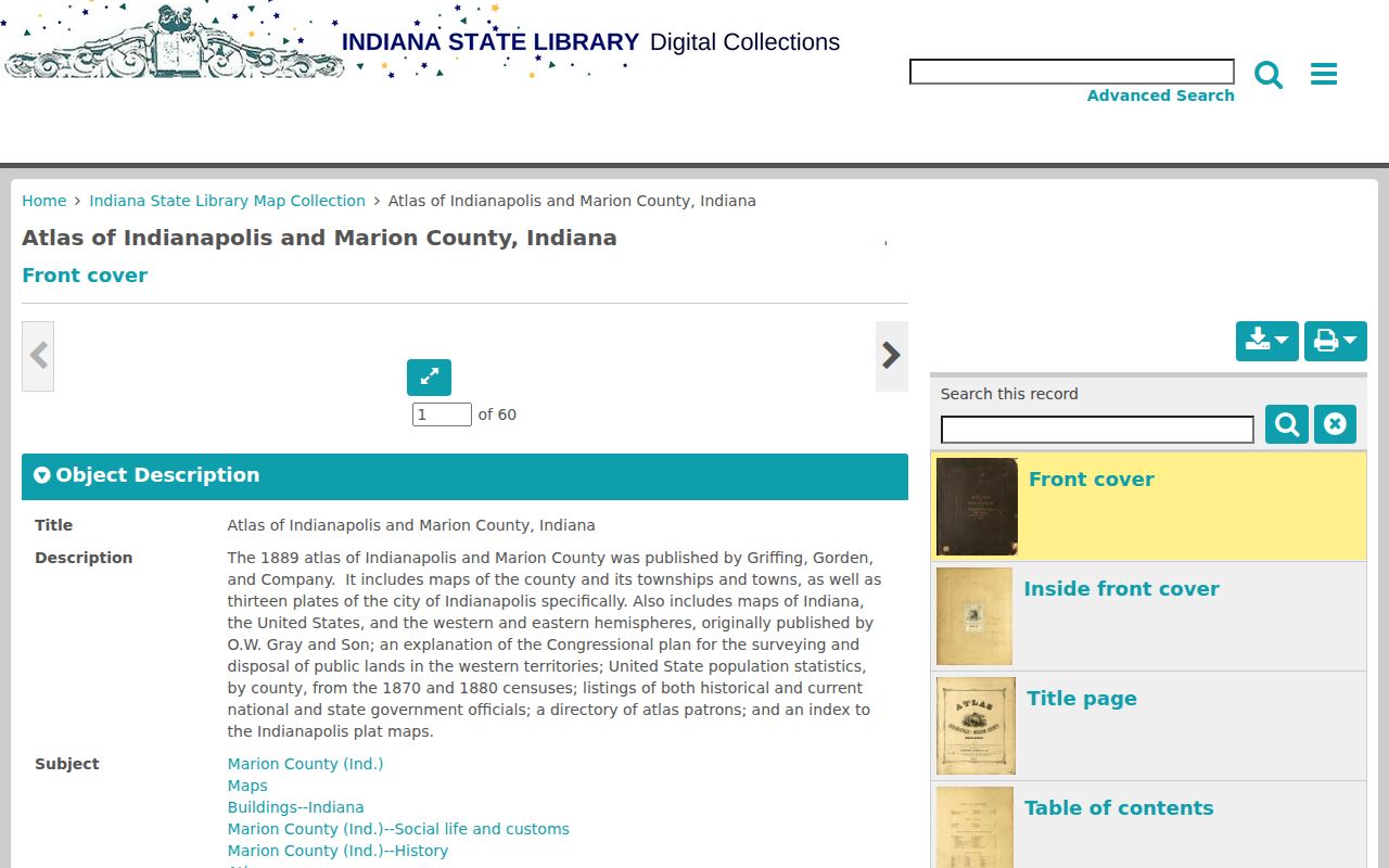
The 1889 Indianapolis and Marion County atlas supplies an index and plat plates for this work.
IndyPL's house-history guide also routes researchers to city directories, address-change notes, Sanborn maps, Baist atlases, MapIndy, Indiana Memory, and historic-property surveys. Bound volumes, licensed databases, and staff help at Central Library remain important access channels when an online scan has weak OCR or missing pages.
Marion Previous Residents Beyond Owners
Deeds follow title, not the whole household. The Indianapolis City Directory Collection spans 1855 through 2001 and can link a name, occupation, business, or street address to a publication year. Coverage was alphabetical in many early years, and a complete reverse or criss-cross run was not verified. Use a street guide when one appears, then check the alphabetical entry. The detailed shelf and scan routes are covered on the Marion County city directories page.
Pair directory entries on both sides of a public census year. If a household appears in one directory and the census, compare names, ages, relationships, occupations, and nearby families. Then check the next directory to see whether the address or surname changed. Census enumeration districts, the areas assigned to census takers, help when indexing is poor. This is a match by evidence, not a claim that similar names are the same person.
Process: address crosswalk → directory entry → census household → later directory → obituary or probate clue.
Lawful use. Research past residents for house history, genealogy, estates, or personal curiosity. Never use a record trail to watch, threaten, or harass a living person.
Close Marion County Household Trails
Obituaries, cemetery files, and probate cases often explain why a name stops appearing. An obituary may give relatives and a later home. A probate docket can identify an estate and heirs, while the clerk remains the source for accessible file materials and certified copies. The Indiana State Library's Marion County guide lists early probate books, wills, marriage indexes, WPA birth and death indexes, newspapers, maps, and directories. These routes matter when online portals favor recent records.
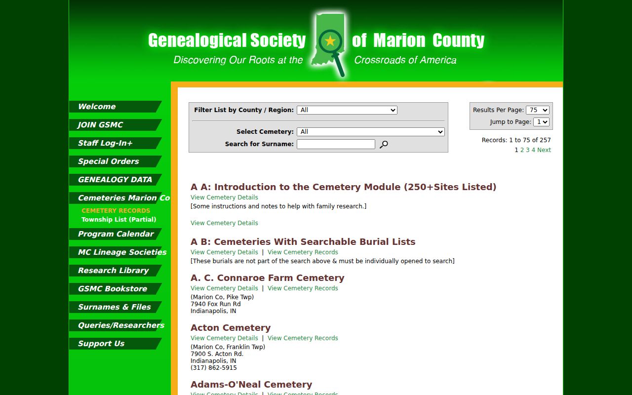
The Genealogical Society of Marion County cemetery search offers another surname and burial-place route.
If an inspectable county record is not online, ask the named custodian in person, by phone, mail, email, or a written Indiana Access to Public Records Act request. The act does not require an office to create a new list, and confidentiality rules still apply. Cite each previous-resident conclusion to the actual directory page, deed, census sheet, map, or file rather than to a search-results screen alone.