
Marion County ZIP Coverage Grid
The official Marion County GIS boundary layer returns 40 distinct ZIP codes. Four are non-462 edge codes, while the rest form the Indianapolis-centered 462 field. Area names below are search guides, not legal boundaries. Confirm a specific address against the GIS polygon and USPS mailing lookup.
| ZIP Code | Areas Covered | Post Office | Notes |
|---|---|---|---|
| 46077 | Northwest Zionsville edge | Zionsville | Verify the Boone-Marion line |
| 46107 | Beech Grove and southeast edge | Beech Grove | Excluded city within Marion geography |
| 46113, 46183 | Camby and West Newton southwest edges | Camby; West Newton | Small intersections need parcel checks |
| 46201-46229 | Central, north, east, west and south areas | Indianapolis | Many neighborhood and city-line mismatches |
| 46231-46278 | Outer township and county-edge areas | Indianapolis | Mail label may differ from municipality |
The complete set is 46077, 46107, 46113, 46183, 46201, 46202, 46203, 46204, 46205, 46206, 46208, 46214, 46216, 46217, 46218, 46219, 46220, 46221, 46222, 46224, 46225, 46226, 46227, 46228, 46229, 46231, 46234, 46235, 46236, 46237, 46239, 46240, 46241, 46250, 46254, 46256, 46259, 46260, 46268, and 46278. The ZIP code directory keeps each GIS intersection visible without turning a polygon into a neighborhood claim.
Marion County ZIP Edge Oddities
The four non-462 codes show why mailing geography needs care. ZIP 46077 reaches the northwest Zionsville edge. ZIP 46107 covers Beech Grove and a southeast edge, while 46113 and 46183 touch Camby and West Newton areas in southwest Decatur Township. An intersection in county GIS does not mean the whole ZIP belongs to Marion County.
The 462 field has similar traps. Speedway, Lawrence, Southport, and Beech Grove remain excluded cities. Incorporated towns also sit within Marion's broader geography. A parcel may be in Marion County, use an Indianapolis label, and still sit in a distinct municipality.
Note: Treat every area label in a ZIP table as orientation until parcel geometry confirms the legal location.
Check Marion ZIPs in MapIndy
The official ZIP boundary layer uses the field ZIPCODE. Query a ZIP, inspect its geometry, and compare it with parcel, township, excluded-city, neighborhood, and street layers. The service supplies map context, not a resident roster.
The Commonly Used Layers service places parcel, township, city, and ZIP context together.
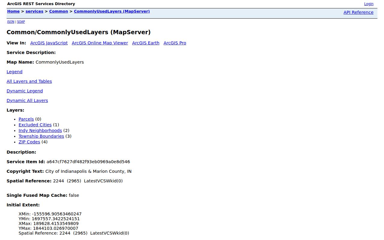
That layer stack tests whether a mailing ZIP, township, and municipality tell the same geographic story.
Find Residents Through Marion ZIPs
Local portals do not share one ZIP filter. MapIndy can select ZIP geometry, and Accela Licenses has a ZIP text field. The assessor property-card screen has owner, address, parcel, and state-parcel modes but no visible ZIP box. Vote Indy accepts an address with ZIP to find a vote center, not a list of residents.
- Choose a code from the official Marion GIS inventory, then display its polygon with township and excluded-city layers.
- Verify the exact mailing code and city label in the USPS address tool.
- Open a parcel card by address or owner, or use a verified ZIP field in Accela when that record type fits.
- Narrow by street, person, parcel, and role. Confirm the match in a second official record.
Once the boundary is reduced to one road, the Marion County street directory supplies the street-level workflow. A ZIP code directory should stop at the geographic filter rather than claim household facts.
Marion ZIP Search Field Differences
Knowing which portal accepts ZIP prevents false assumptions. Search controls observed in the Marion County research differ sharply.
| Portal | ZIP control | Result meaning |
|---|---|---|
| MapIndy / ArcGIS | ZIP layer query using ZIPCODE | Boundary geometry and map context |
| Accela Licenses | ZIP text field | Cases filtered with name, address, type, or dates |
| Assessor Property Cards | No ZIP field observed | Individual address, owner, or parcel |
| Vote Indy | Address and ZIP autocomplete | Nearest vote center and map |
| USPS lookup | City/state or address | Mailing ZIP and city label |
The Vote Indy address search shows the service-location role of a ZIP input.
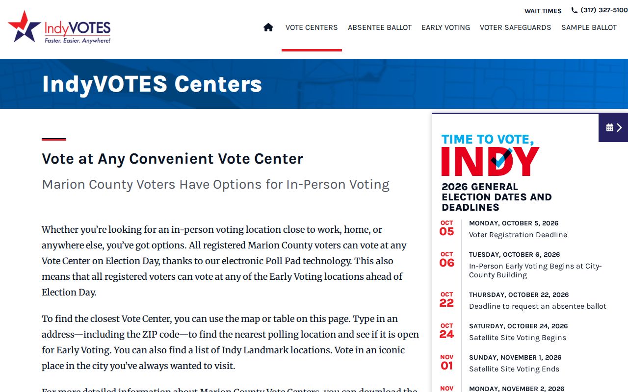
It helps with voting logistics but does not identify people within a ZIP.
Verify Marion ZIP Mailing Labels
County GIS answers where a polygon intersects local geography. USPS answers how an address is delivered. Use the USPS ZIP Code Lookup by city and state or by full address, then compare it with county parcel geometry. No stable official bulk USPS list for Marion County was found, so verify one address at a time.
The USPS screen supplies the postal half of that comparison.
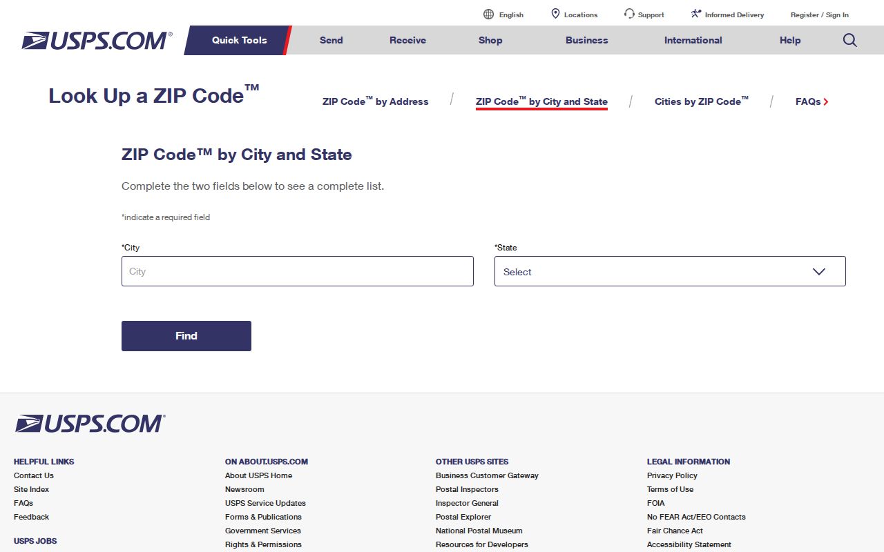
A preferred postal city is not proof of municipal limits, township, neighborhood, precinct, or county.
Marion ZIP Boundaries and City Limits
ZIP codes are USPS delivery areas, not municipal borders. Marion County's consolidated government still contains nine townships and several excluded cities and towns. An Indianapolis mailing label may appear in or near Beech Grove, Lawrence, Southport, or Speedway. A Marion parcel can instead carry Zionsville, Beech Grove, Camby, or West Newton.
Four address keys can differ: situs is the parcel's physical site; mailing is where tax mail goes; USPS supplies delivery form; and the legal description identifies land through plat, lot, or metes-and-bounds text.
- ZIP vs ZIP+4
- The base delivery area versus four added digits that narrow a delivery segment.
- PO-box ZIP
- A code assigned to post-office box delivery rather than a normal street area.
- Unique ZIP
- A ZIP assigned to one large recipient; verify such status with USPS.
- Carrier route
- A postal delivery path within a ZIP, not a public occupant list.
The MyNeighborhood lookup adds address-based context after the ZIP search.
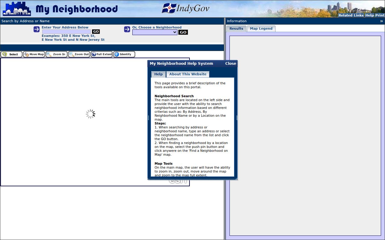
Use the result for context, then rely on the proper agency for a legal boundary or resident record.
Boundary rule. A Marion County ZIP code is a useful filter, but it never proves a person's residence, neighborhood, township, precinct, or municipality.
Historic Marion Addresses Before ZIPs
Older Marion County resident sources may have no ZIP at all. Printed city directories, ward maps, Sanborn maps, plats, and recorder books often rely on a street name, house number, addition, lot, or legal description. Indianapolis also had major address changes in 1887, 1899, and 1916, plus well-known street-name changes such as Tennessee to Capitol and Mississippi to Senate in 1895.
Do not assign a modern ZIP to an old directory entry without translating the address first. Compare a volume's street guide or map with the modern parcel. Then use legal descriptions and deed indexes to bridge years when house numbers changed. ZIP geography is less useful than the old ward, addition, or subdivision during that step.
The official DCS Marion County ZIP Assignment map provides a present-day service view and includes the county-edge codes. It should not be used to rewrite historic addresses. Modern GIS, USPS, printed maps, and the dated source each answer a different question.
Note: A ZIP nonmatch in an old source is expected when the record predates postal ZIP adoption or uses an earlier street identity.
Read Marion ZIP Area Groups
Central Marion ZIP codes show how an area label can help without becoming a boundary claim. The 46204 code centers on the downtown civic core, while 46202 reaches the downtown north and campus-oriented area. ZIP 46203 is a near-south and southeast-central guide, and 46225 covers the south-downtown area. Each polygon can cross a named district or historic-area line.
On the east side, 46219 is useful for an Irvington-oriented search, but Irvington's historic boundary is not the ZIP polygon. Codes 46226, 46235, and 46236 approach or overlap Lawrence-side and northeast geography. ZIP 46229 reaches the Cumberland edge. Check the excluded-city, town, and parcel layers before assigning an Indianapolis municipal identity.
West-side codes also need context. ZIP 46224 approaches Speedway and Wayne Township, 46234 reaches Clermont and a Decatur-side edge, and 46241 covers an airport and Wayne-oriented area. On the northwest, 46254, 46268, and 46278 relate to Eagle Creek or Pike Township orientations. A ZIP code directory can narrow the part of Marion County, but a parcel is the sound unit for a precise boundary check.
South and southeast codes such as 46217, 46227, 46237, 46239, and 46259 cross Perry or Franklin Township contexts. Northern codes 46220, 46228, 46240, and 46260 span familiar community labels while crossing other local lines. Use those names as wayfinding terms. Do not treat them as official neighborhood membership.
The same care applies to records. An assessor card may show one ZIP at the situs and another in the owner's mailing address. An Accela license case may contain a business or applicant address. A legal description can omit ZIP entirely. Label each address by its record role before comparing results across portals.
For an edge address, save the ZIP polygon, township, municipality, and parcel identifier together. Then confirm the postal label through USPS and the legal location through Marion County GIS. This prevents a search from assigning an excluded city or township record to Indianapolis solely because the mailing line uses an Indianapolis place name.